

A Day in Death Valley
Intense Heat and Awe-Inspiring Desert Beauty
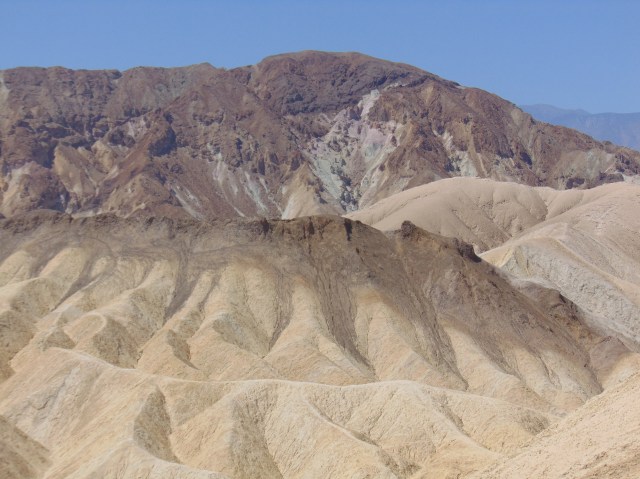
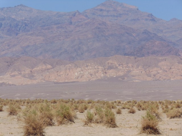
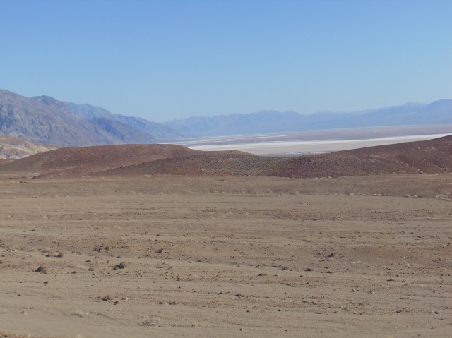
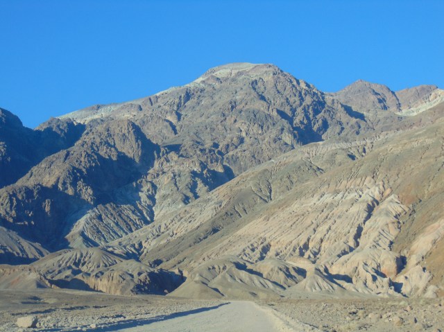
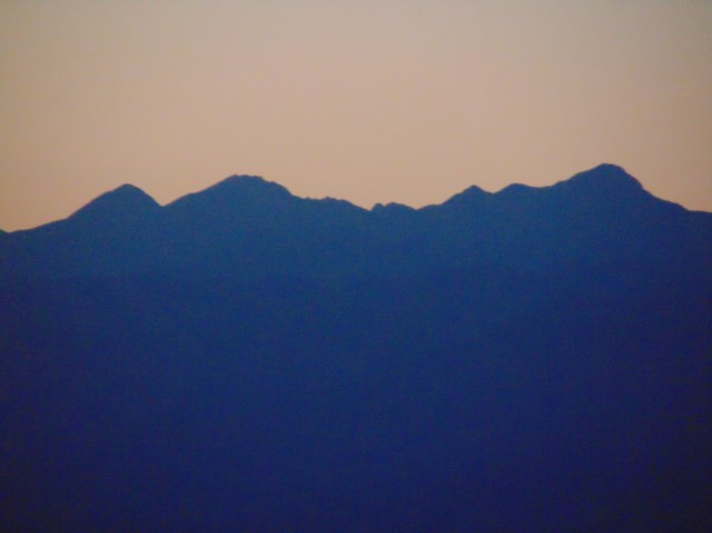
Our first stop in Death Valley, after driving two hours west from Las Vegas, was Zabriskie Point. A million years of volcanic emissions, lake-bed sediments, seismic activity, and rainstorm erosion created this fascinating landscape.

The actual Death Valley, as seen from Zabriskie Point:

(those odd creaking sounds may be from my camera, I’m afraid…)


As we leave Zabriskie Point to view many more otherworldly, beautiful sites, here is a detail of a map of Death Valley, encompassing all the stops we made this day:


The Furnace Creek Visitor Center keeps you abreast of the temperatures. 110F (44C) seemed really high to us when we arrived.
We would learn that was just the beginning…

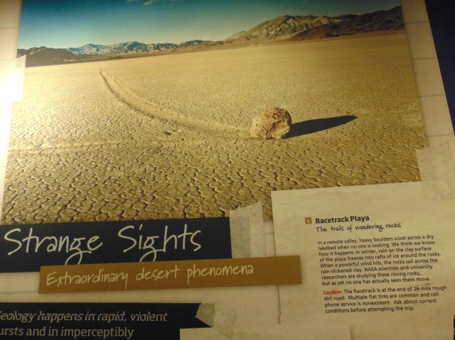
We didn’t make it to the race track. It is only accessible with 4 wheel drives, and we are driving a 4 door compact.


And the temp keeps creeping up…
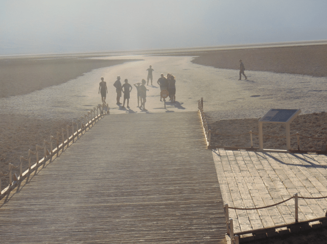
We stopped on the road to walk down to the Salt Creek salt deposits. In the winter, water does pool in lakes and rivers in the valley, but it evaporates in the spring and summer, and leaves behind these salt flats.

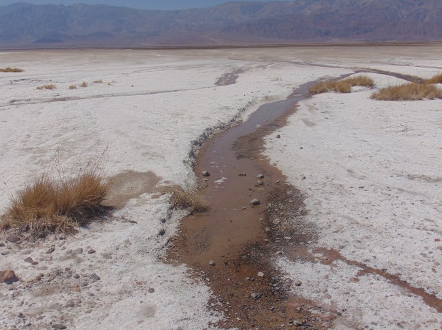
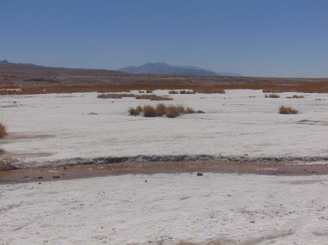
The crunchy sound of the salt underfoot:
Ed and I took these next two shots independently, simultaneously:

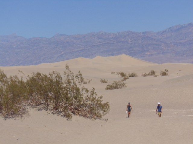
Next we stopped at the Mesquite Flat Sand Dunes:

Reminded me a little of the Lençóis in Brazil, except those sand dunes are much whiter, and more expansive of course. And have lagoons. Ok, the comparison is superficial, but check out the amazing Lençóis nonetheless.
Ed is almost as obsessive as me with the camera…

This is not the picture Ed took above, but it might as well be:
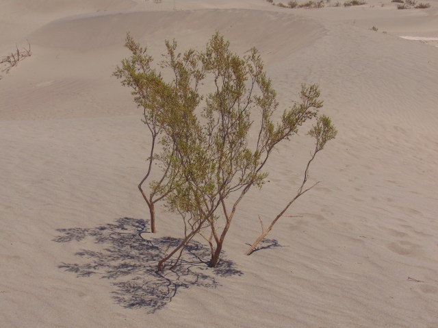
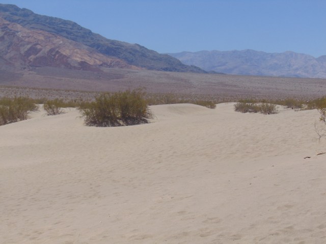


360 degree views within the Mesquite Flat Sand Dunes:


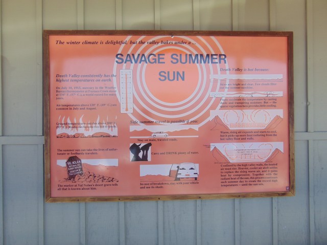
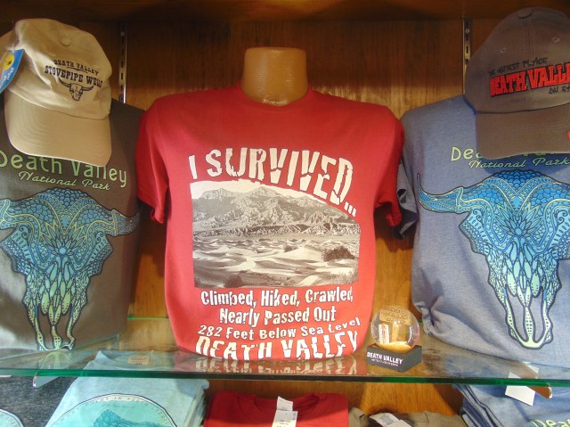
We had lunch in Stovepipe Wells Village, where this Raven enjoyed the awesomely alarmist alliteration of this sign:

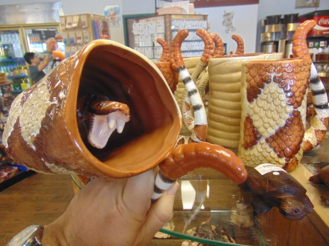
Meanwhile, I found a surprise in this Death Valley souvenir mug:
Meanwhile, the temperature just keeps climbing, practically a degree a minute:


Next a quick stop at the Devil’s Cornfield. (Early promoters of Death Valley liked to come up with colorful yet dubious names for the various areas in the valley)

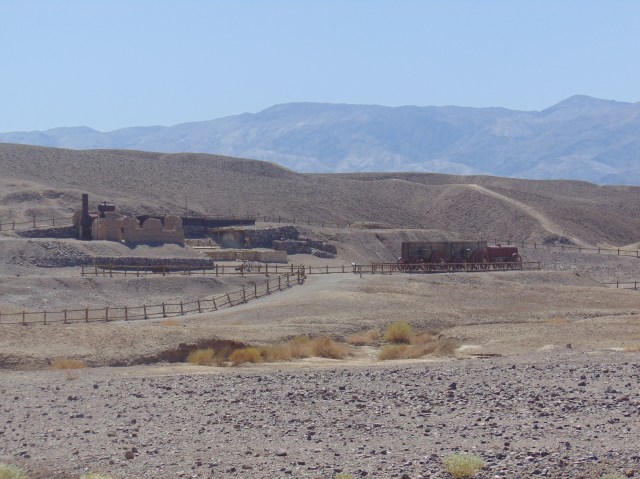
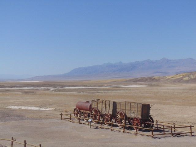
Next stop, the Harmony Borax Works, the remains of a borax mining concern that only lasted 5 years in the late 19th century.
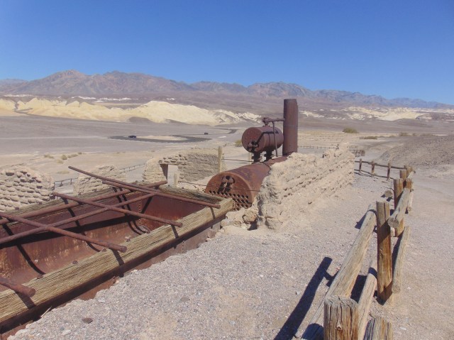
Chinese laborers recruited from Sand Francisco scraped the Borax crystals off of the salt flats and carried it by wagon to the on site refinery.

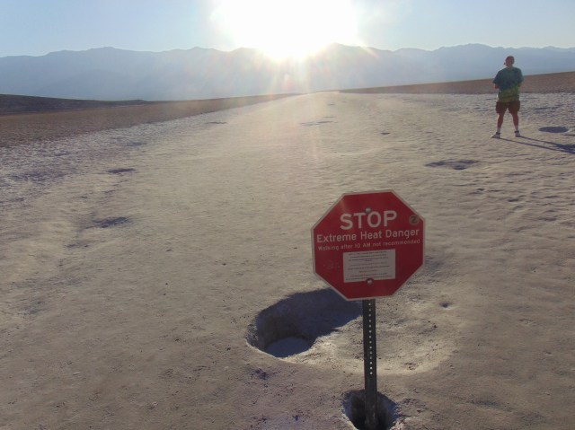
We made another cooling stop at the visitor center, which now announced an afternoon temperature of 123F (51C) !
I’ve never been in so hot a place that wasn’t a sauna. Actually, I’m not sure I ever was in this hot a sauna…
We made sure to drink lots of water throughout the day. I drunk at least 4 times more water than any other day in my life.
It’s gettin’ hot in herre, so put your sunscreen on
I am getting so hot, I’m putting on my sun screen, and my sun-cap, and drinking gallons of water
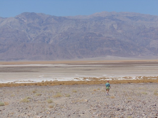
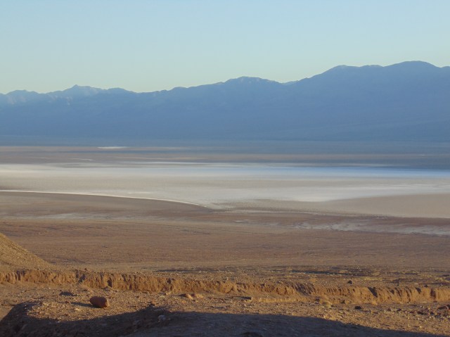
Next we drove down Badwater Road towards the lowest spot in the valley, also the lowest, hottest spot in the United States.

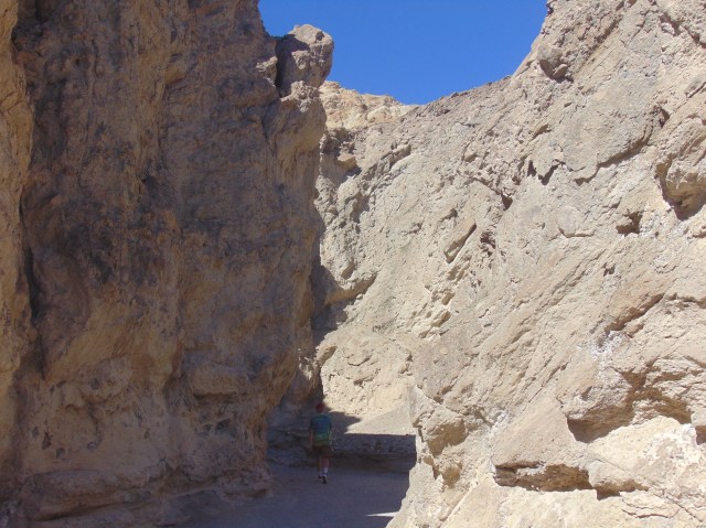
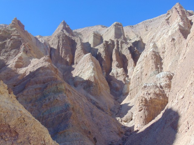
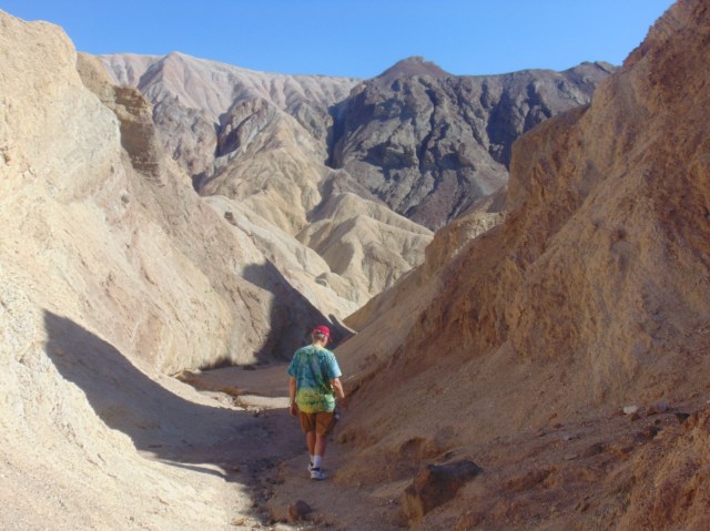
Several points of interest down that road, for example the Golden Canyon Trail, which we hiked with lots of water and caps firmly on our heads under the blistering sun.
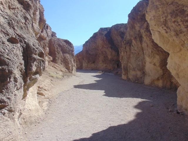

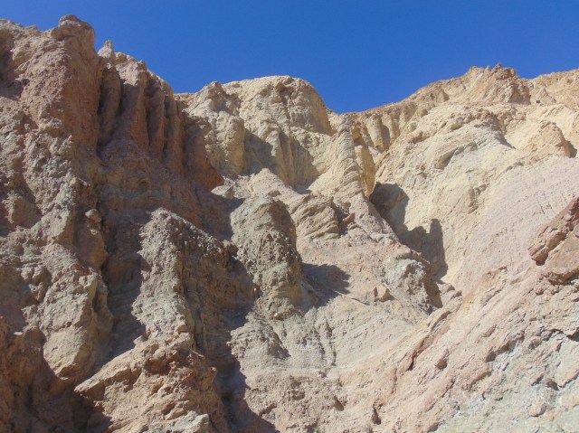
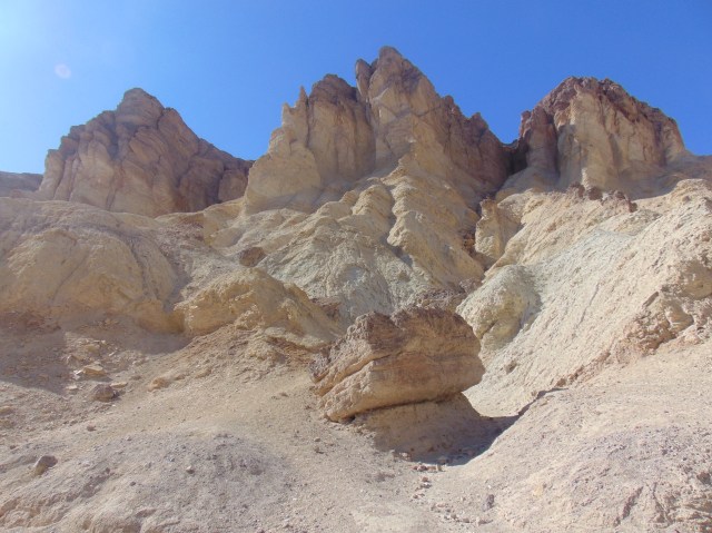
This cliff formation presented itself to us like a cathedral in the desert:

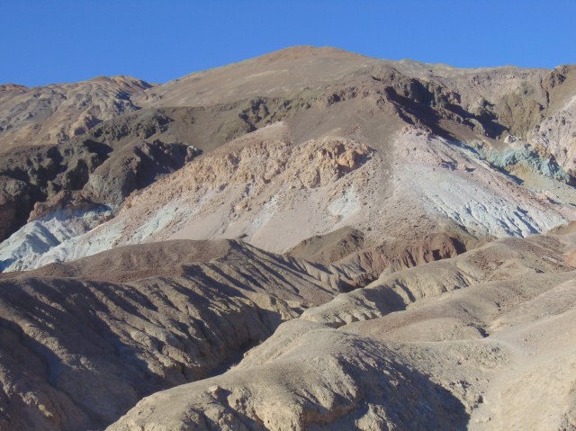
Next up, the Artist’s Drive to the Artist’s Palette, a twisty road into and up and around the cliff sides to where the desert mountainsides are particularly colorful.

With an elevated view of Death Valley.
A taste of the dips (and turns) in this road.

The Artist’s Palette – a wide variety of desert colors in these baked rocks.

Ed and I making our shadowy mark.


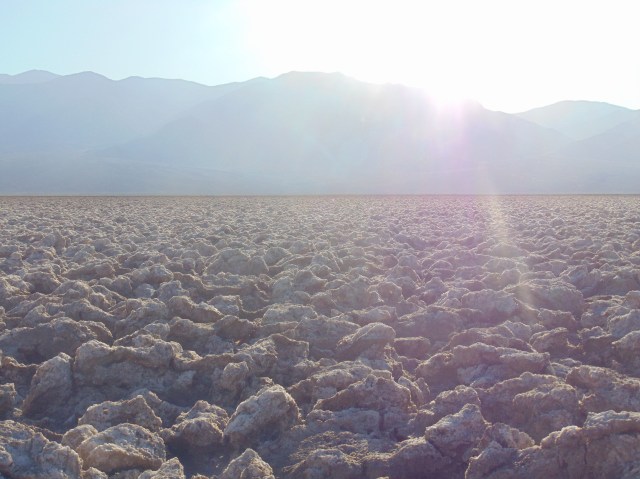
Next stop, the fantastically named Devil’s Golf Course.

There’s a certain malevolent golf-enthusiast who might deserve to be condemned to play this course, alone, no cheating help from his caddy, no one else to boast to or to blame, for all eternity.
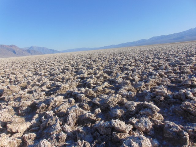
Crystalized salts, forever shaped and reshaped by water and rain, create this landscape.
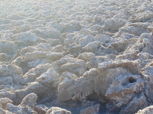


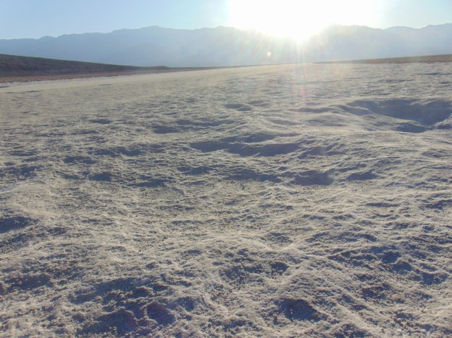
Our next stop was Badwater Basin.


The lowest you can go above ground in the USA. Physically.
(That malevolent golf-enthusiast certainly keeps going lower. Ethically.)
The crystalized salts are more granola-like here compared to the larger obstacles of the Devil’s Golf Course higher up the valley.

That tiny white spot in the middle of the cliff is the sea level marker.

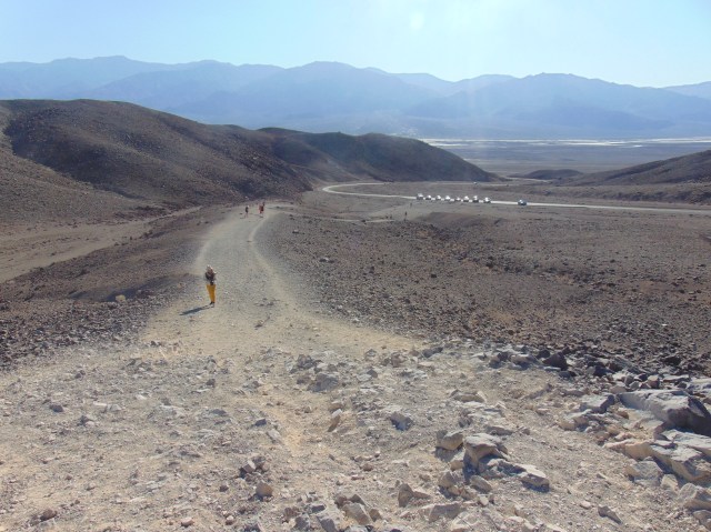
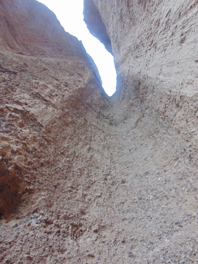
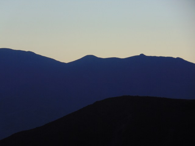
On our way back up the valley, we took the trail to the Natural Bridge.
A view of Death Valley from the higher elevation at the start of the trail.
It being evening, and the trail all in shadow, it was a much more comfortable trail to walk than the Golden Canyon trail had been earlier.

The Natural Bridge.

They call this feature a Dry Waterfall. The occasional flash flood will gush down here, and over thousands of years carved this tube, but most of the time it is dry.


Finally, the sun was setting over Death Valley.


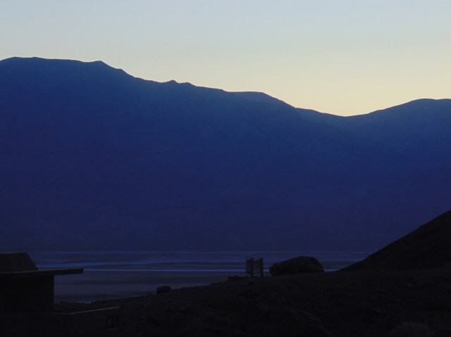

We drove out of the valley and up to Dante’s View. By then it was night and we were the only one’s there.
A full bright moon shone over the valley, so we still had a lovely night time view of the landscape from above. But there wasn’t enough light for my modest camera equipment to capture it.
A ghostly Death Valley glowed in the moonlight below us, while heavenly bodies twinkled in the cloudless sky above.

On the afternoon of July 10, 1913, the United States Weather Bureau recorded a high temperature of 134 °F (56.7 °C) at Furnace Creek in Death Valley.
LikeLike