

Announcing my new biblical musical extravaganza!?!
um, no – just an extravagant photo tour through Zion National Park in Southern Utah.
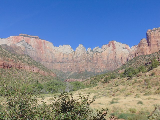
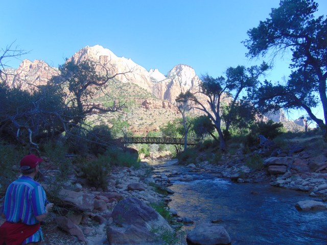
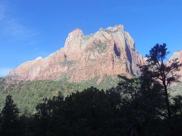
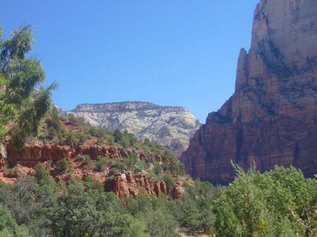
Right at the entrance into the park, one is greeted by this majestic vista.
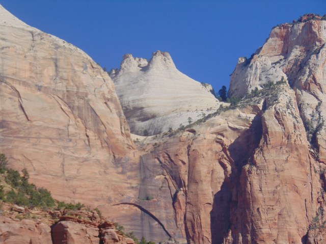
Let’s take a closer look: to the left, the West Temple:

In the middle, the Sun Dial:
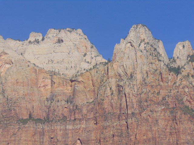
To the right, the Altar of Sacrifice:

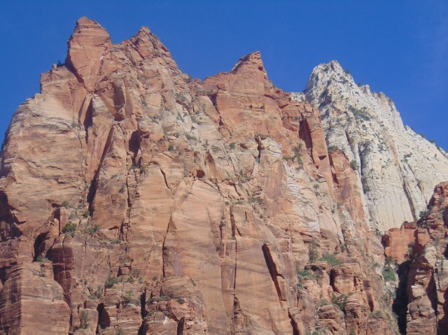
A lot of religiously inspired names for mountains in this park. It is called Zion National Park, after all. And we are in Utah.

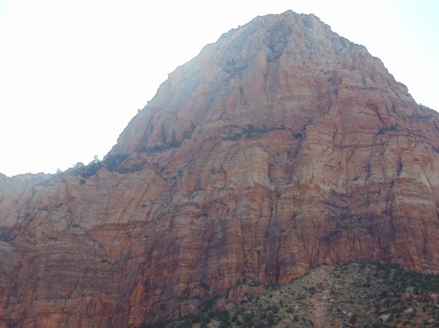
There is a natural wonder on Bridge Mountain. Let’s take a closer look:
Don’t see it yet? Maybe if we zoom in closer…

There it is. A natural arch, sloping diagonally, like a stone surfboard or stone banana peel. It’s called Crawford Arch.
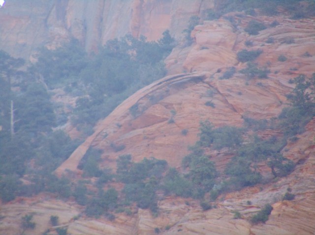
It’s an arch because it was created by wind. When a stone structure like that is created by water, it is called a bridge.
360 degree panorama view of this part of the park:
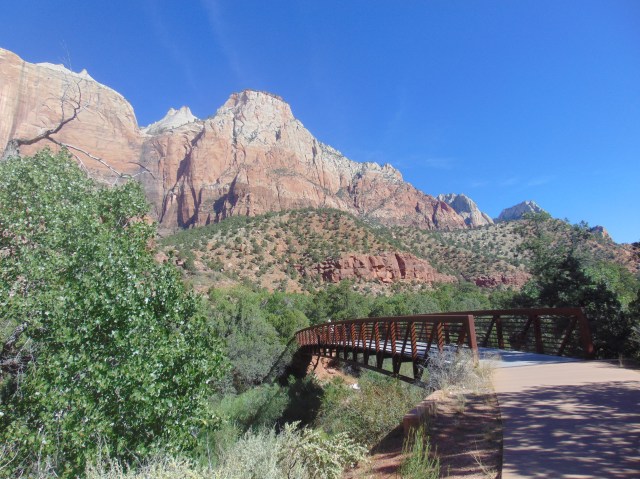
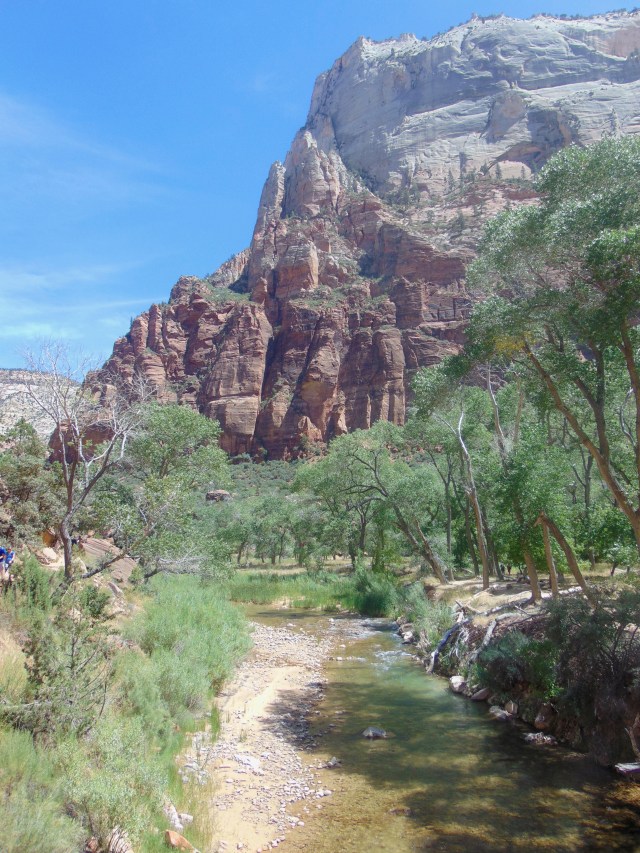
After taking the shuttle bus to the Museum stop, we walked the Pa’rus Trail further into the park.

Now might be a good time to present you with a map of the park, as we make our way north from landmark to landmark:


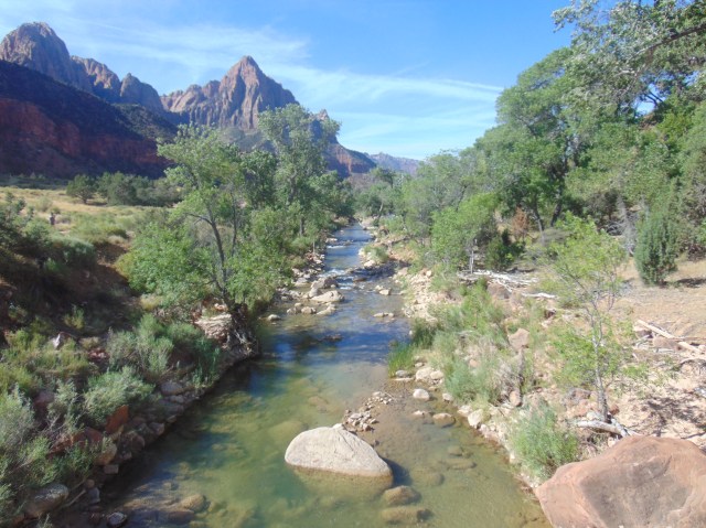
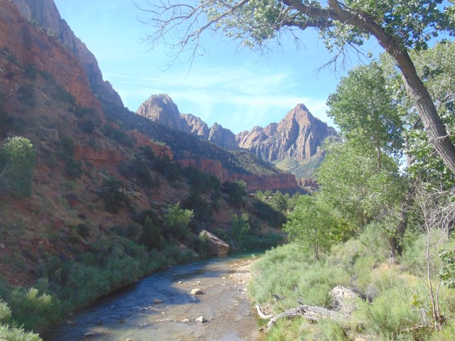
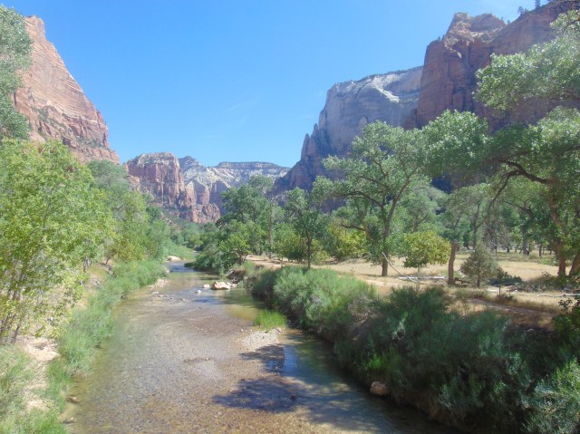
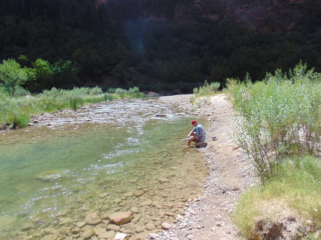
The river that carved out the main valley of Zion National Park looks like a gentle creek in these photos. But we were told that there can be powerful, dangerous flash floods that have torn through the valley, taking out the main road, and stranding tourists for days upstream.


This bridge is near Canyon Junction (if you are following the map), where one has to take the shuttle bus to go further up into the park. No other vehicles allowed. And the next foot trails don’t return til further up too.
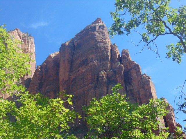
The Court of the Patriarchs, named for biblical figures Abraham, Isaac and Jacob:


Next stop, Zion Lodge:


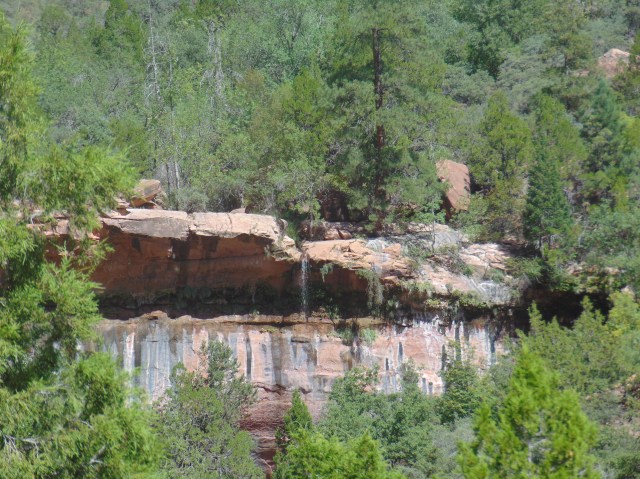
From there we took the trail west to the Lower Emerald Pools.

First glimpse of the Lower Emerald Pool waterfalls:


A rockfall blocked the rest of the hiking path, so we couldn’t go to the Upper Emerald Pools or continue on via the Kayenta Trail. We had to turn back the way we came to Zion Lodge.

From Zion Lodge we walked up to The Grotto.


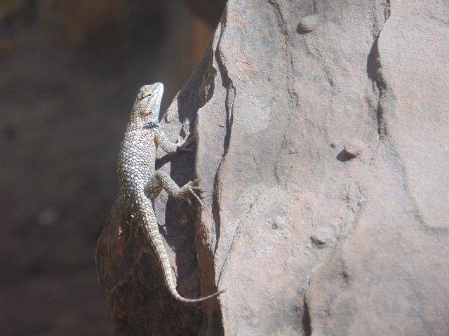
Hello, little fella!
From the Grotto we hiked the Kayenta trail as close to the Emerald Pools as the rockfall would allow, and then back again.


The Kayenta Trail allows for some views from a little higher up.

The Emerald Pools from afar again:

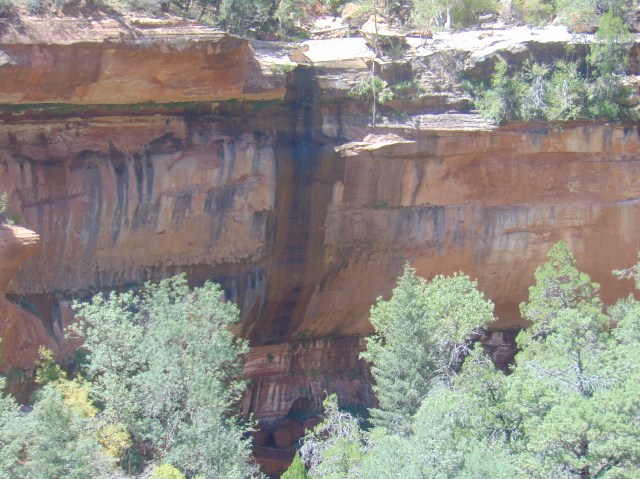


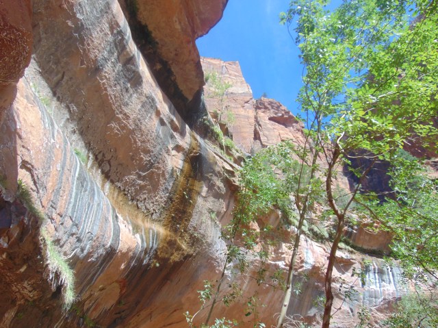
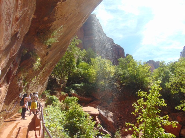
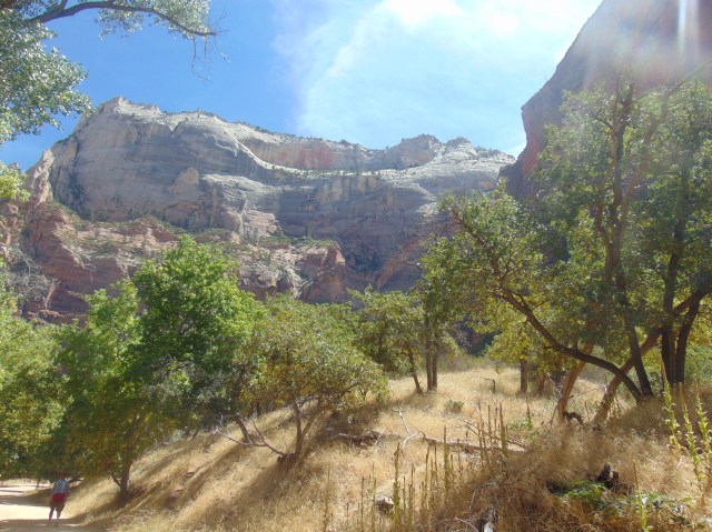
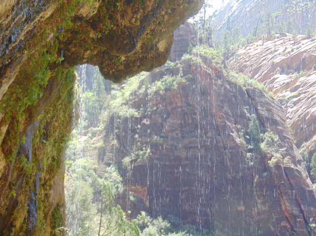
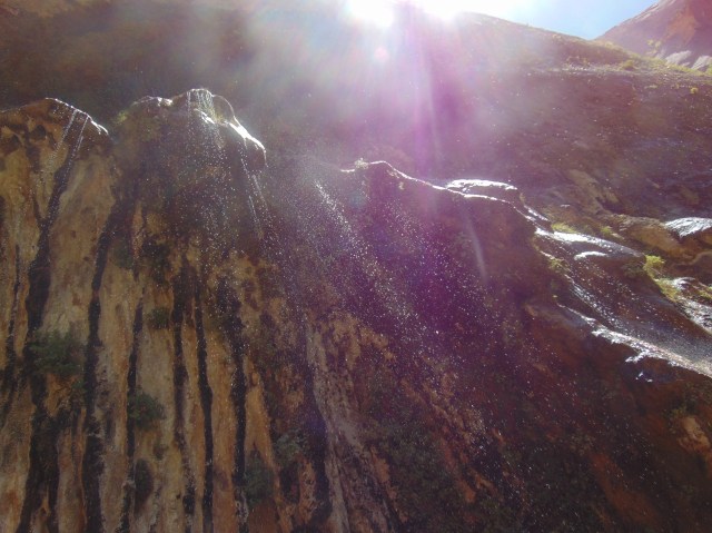
At the Weeping Rock:


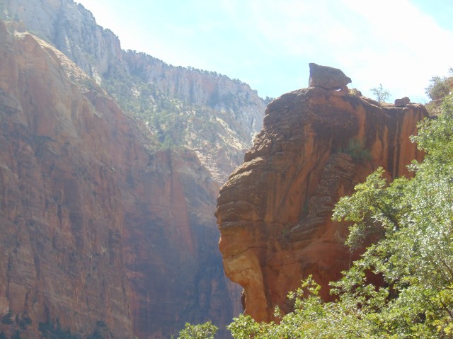
At Big Bend:

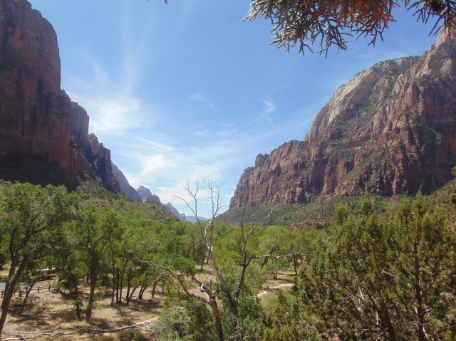
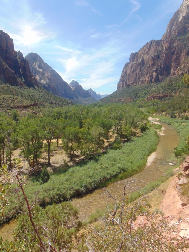
A 360 degree panorama of Big Bend:

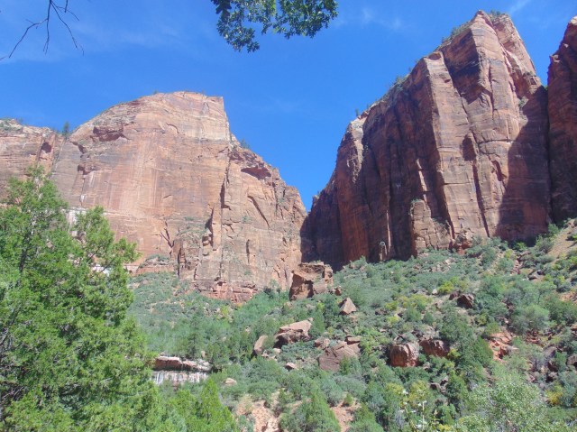
In the middle, the White Throne. To the right, Angel’s Landing. You can hike up there, but it is not recommended on hot summer afternoons. Also, it’s a really steep climb, and people have fallen and died…

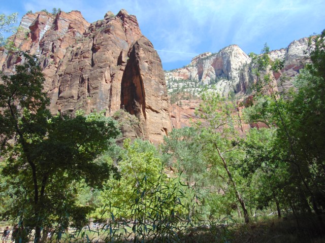
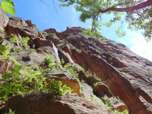
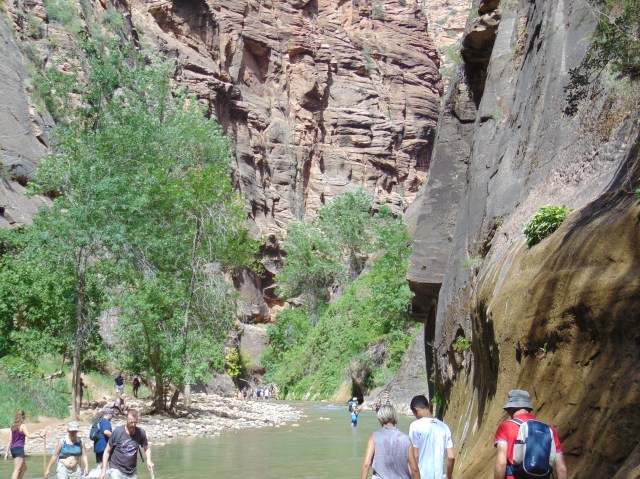
Next stop, and uppermost stop for the shuttle buses, the Temple of Sinawava, the one landmark in Zion National Park named after a Native American religious figure. From there we took the Riverside Walk.


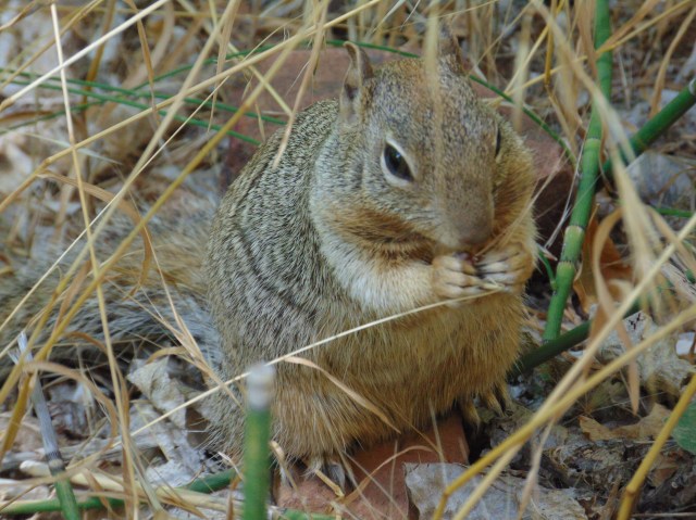
The squirrels by the Riverside Walk are very accustomed to tourists.


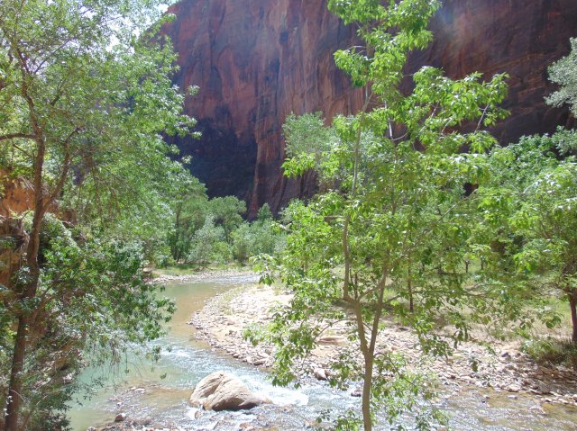


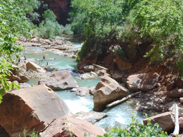

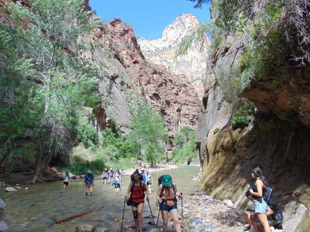
Eventually the Riverside Walk footpath ends, and the only way to continue hiking is to walk through the river itself, which people do for many miles onwards.
We didn’t, not wearing shoes we could get wet.


In case you were wondering…


We took the shuttle bus back to the visitor center.


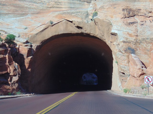
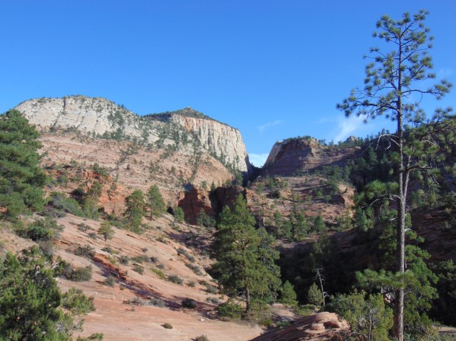
We then drove through and out of Zion National Park taking the main road that continues east in a winding fashion from Canyon Junction.


While a line of cars waited to be waved through the tunnel system (while some wide trucks made their way through), the park ranger attending the crossing gate pointed out a mountain climber on the nearby canyon face.
Can you see him?
Let’s get closer…


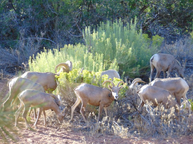
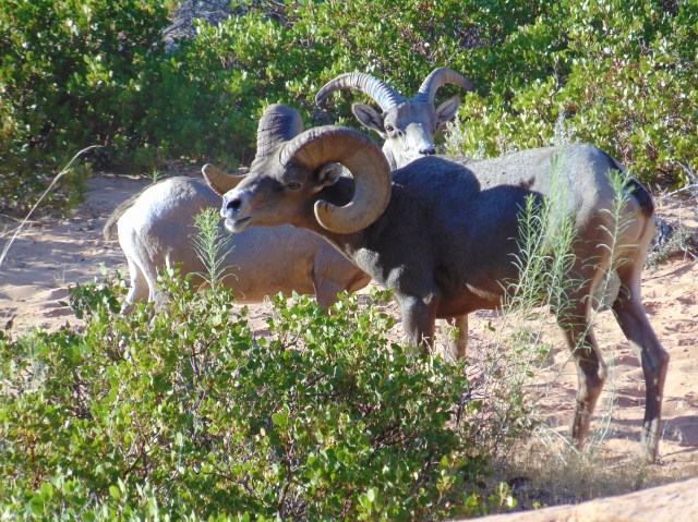
Bighorn sheep crossing the road.


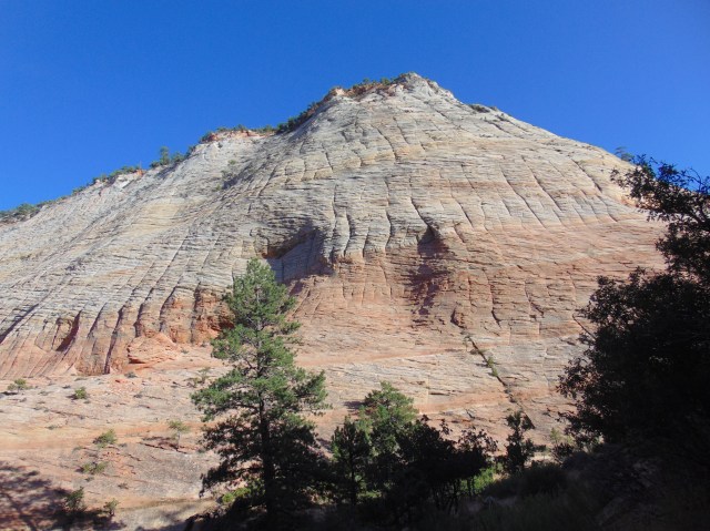
In features of this type the horizontal lines are caused by “cross-bedding of ancient sand dunes”. The vertical lines are “cracking due to expansion and contraction of the sandstone during winter”. (Thank you, helpful tourist sign.)
A herd of bighorn sheep.

Checkerboard Mesa:

And soon after we officially exited the park. Next stop, Bryce Canyon!
